ICBA hosts first-of-its-kind drone training in Gulf region for remote sensing
30 March 2017
Over 25 participants representing four countries, including 16 participants from the UAE, have recently completed a specialized training course on remote sensing and photogrammetry techniques using aerial images from unmanned aerial vehicles (UAVs), aka drones.
Hosted by the International Center for Biosaline Agriculture (ICBA) from 20 to 29 March 2017, the international training course and workshop on using UAVs for remote sensing and photogrammetry was the first of its kind in the Gulf region.
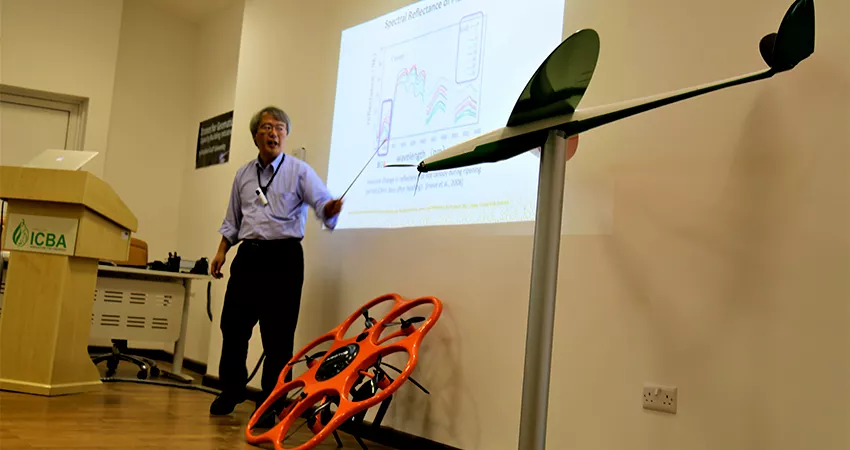
A team of 13 leading international experts from the USA, Spain, Japan, Canada, Malaysia, the UAE, Saudi Arabia and Bahrain shared knowledge and experience on a wide variety of UAVs and remote sensing.
The training course and workshop were organized in partnership with the Arabian Gulf University (AGU), Bahrain, BCN Drone Center, Spain, and Falcon Eye Drones, UAE.
Dr. Ismahane Elouafi, Director General of ICBA, said: “Drones have become incredibly important in the modern agriculture and have proved to be one of the best resources for agricultural experts in understanding and analyzing various agriculture-related problems. At ICBA, we see this technology as a great resource to analyze impact of climate variability on crop production, water resources and soil, particularly in the marginal areas of the Middle East and North Africa (MENA) region.”
“With this technology, our scientists, especially climate scientists, can save a lot of time and resources in understanding the severity of agricultural issues and provide timely solutions,” Dr. Elouafi added.
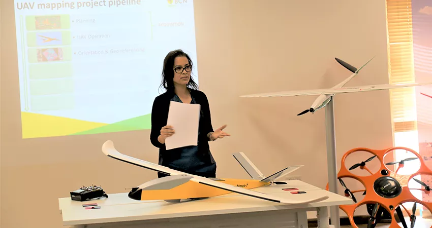
Dr. Ali Elbattay, Assistant Professor in Remote Sensing and Geoinformatics at AGU, said: “One of the objectives of this training course and workshop was to help participants acquire all the knowledge they need to select the UAV system that best suits their application, and equip them with a clear view on how to correctly operate them. Also, it aimed to show which remote-sensing analytical techniques can be used to obtain information from the images.”
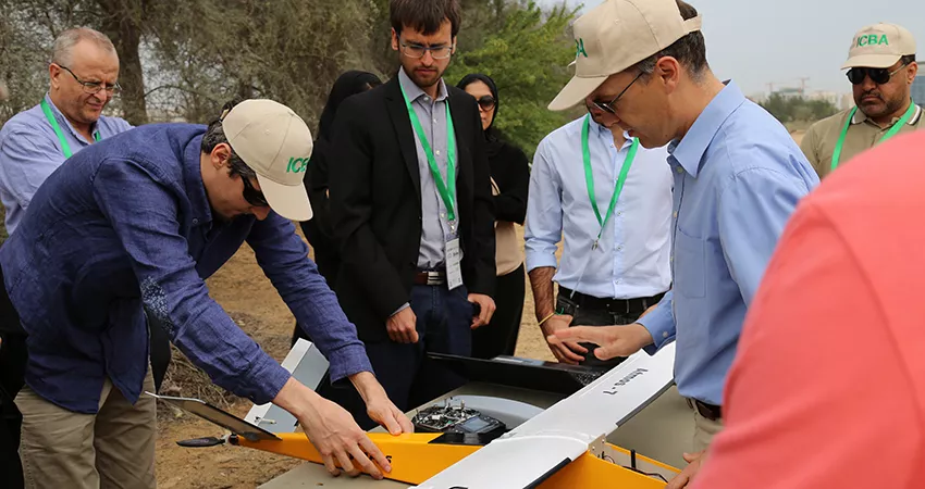
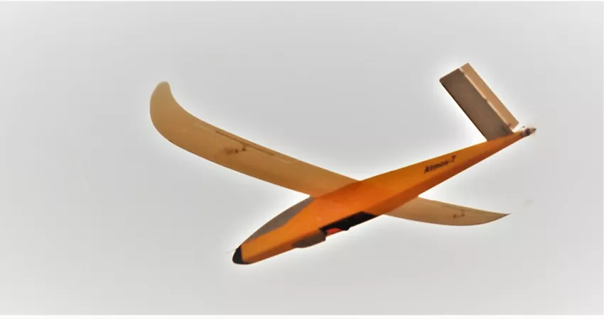
The theory was combined with hands-on training with real UAV datasets and case studies of real applications explained by experts. Moreover, to give participants a real view of all the topics discussed like hardware and software, practical UAV mission flights were carried out in the ICBA fields, using different types of drones.
The training course and workshop were a great opportunity for participants, who not only benefited from learning state-of-the-art techniques and discovering new applications, but also exchanged knowledge with other participants from different countries.
Drones (using remote sensing) have great potential and applicability in precision agriculture and could be used to check health of crops, track livestock and survey farmland. The high-quality images from the drones can be incorporated with satellite images for better results. Drone images can even reach the areas where sometimes satellites may not reach due to many factors like cloudy conditions. The images can be turned into 3-D/360 degree images by utilizing specialized computer software making it possible to virtually visit a particular area. It is also important for construction planners to make necessary measurements on these images.
At the time when the world is facing a lot of challenges like changing weather, climate change, it is extremely important to have technologies like UAVs, which not only save time and resources but also provide timely and reliable data to experts.
The training course and workshop were further proof that the UAE is one of the best destinations for innovations, with a clear legal framework and world-class infrastructure.
