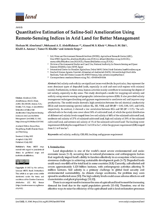
Quantitative Estimation of Saline-Soil Amelioration Using Remote-Sensing Indices in Arid Land for Better Management
Soil salinity and sodicity are significant issues worldwide. In particular, they represent the most dominant types of degraded lands, especially in arid and semi-arid regions with minimal rainfall. Furthermore, in these areas, human activities mainly contribute to increasing the degree of soil salinity, especially in dry areas. This study developed a model for mapping soil salinity and sodicity using remote sensing and geographic information systems (GIS). It also provided salinity management techniques (leaching and gypsum requirements) to ameliorate soil and improve crop productivity. The model results showed a high correlation between the soil electrical conductivity (ECe) and remote-sensing spectral indices SIA, SI3, VSSI, and SI9 (R2 = 0.90, 0.89, 0.87, and 0.83), respectively. In contrast, it showed a low correlation between ECe and SI5 (R2 = 0.21). The salt-affected soils in the study area cover about 56% of cultivated land, of which the spatial distribution of different soil salinity levels ranged from low soil salinity of 44% of the salinized cultivated land, moderate soil salinity of 27% of salinized cultivated land, high soil salinity of 29% of the salinized cultivated land, and extreme soil salinity of 1% of the salinized cultivated land. The leaching water requirement (LR) depths ranged from 0.1 to 0.30 m ha−1, while the gypsum requirement (GR) ranged from 0.1 to 9 ton ha−1.
Year
2022
Publication Source
MDPI
Publication type
Scientific Paper
